PLEASE DONATE
KOA runs a number of programs whose purpose is to protect, preserve, and promote Kashmiri ethnic and socio-cultural heritage, to promote and celebrate festivals, and to provide financial assistance to the needy and deserving. Your contribution in US dollars is tax-deductible.
DONATE NOW
NEW: Support KOA by Shopping at  . Learn More.
BECOME A KOA Member
Kashmiri Overseas Association, Inc. (KOA) is a non-profit, tax-exempt socio-cultural organization registered in Maryland, USA. Its purpose is to protect, preserve, and promote Kashmiri ethnic and socio-cultural heritage, to promote and celebrate festivals, and to provide financial assistance to the needy and deserving
Koshur Calendar (2021-2022)
Welcome As KOA Member
KOA Executive Committee – Year 2021More >>
 PRESIDENT
Dr. Archana Kokroo
VICE PRESIDENT
Ashwani Kaul
SECRETARY
Neeta Bhat
 TREASURER
Rakesh Thaploo
KOA IT / Digital Media Team – Year 2021More >>
 NIMIT KAUL
 PALLAVI BAMZAI
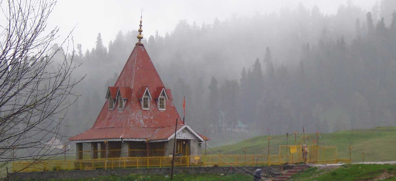
Cultural HeritageRead More >>
 Cultural heritage of Kashmir is as multi-dimensional as the variegated backdrop of its physical exuberance which has nursed and inspired it all along. Its sanctity and evergreen stature can be conveniently inferred from the chaste shimmering snow,…
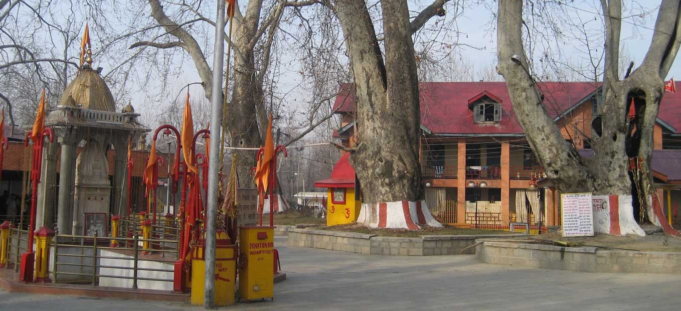
Religious PracticesRead More >>
 The religious practices of Hindus of Kashmir (popularly known as Kashmiri Pandits) revolve around the worship of Shiva and Shakti. All other deities (gods and goddesses) of the traditional Hindu pantheon are worshipped as various manifestations of …
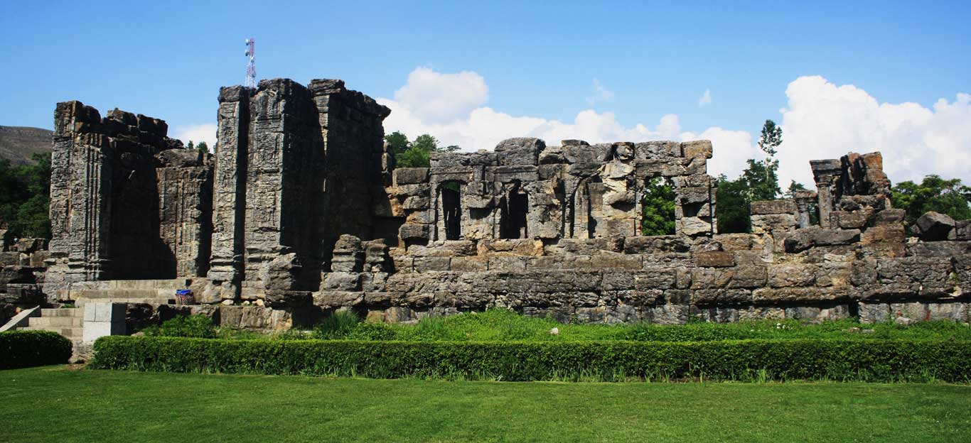
History and PoliticsRead More >>
 The Muslim and Hindu peoples of Kashmir have lived in relative harmony and friendliness since the 13th century when Islam first became the majority religion in Kashmir. Periodically however, there have been rulers and leaders who have had a narrow view of Islam, …
Mayhem in KashmirRead More >>
 This website will show you a glimpse of the history, culture, and the current plight of Kashmiri Pandits. You will understand the goals of the bigoted religious terrorists in Kashmir whose vision of Azadi (independence) is to use …